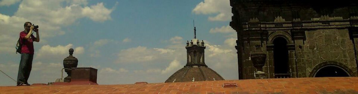
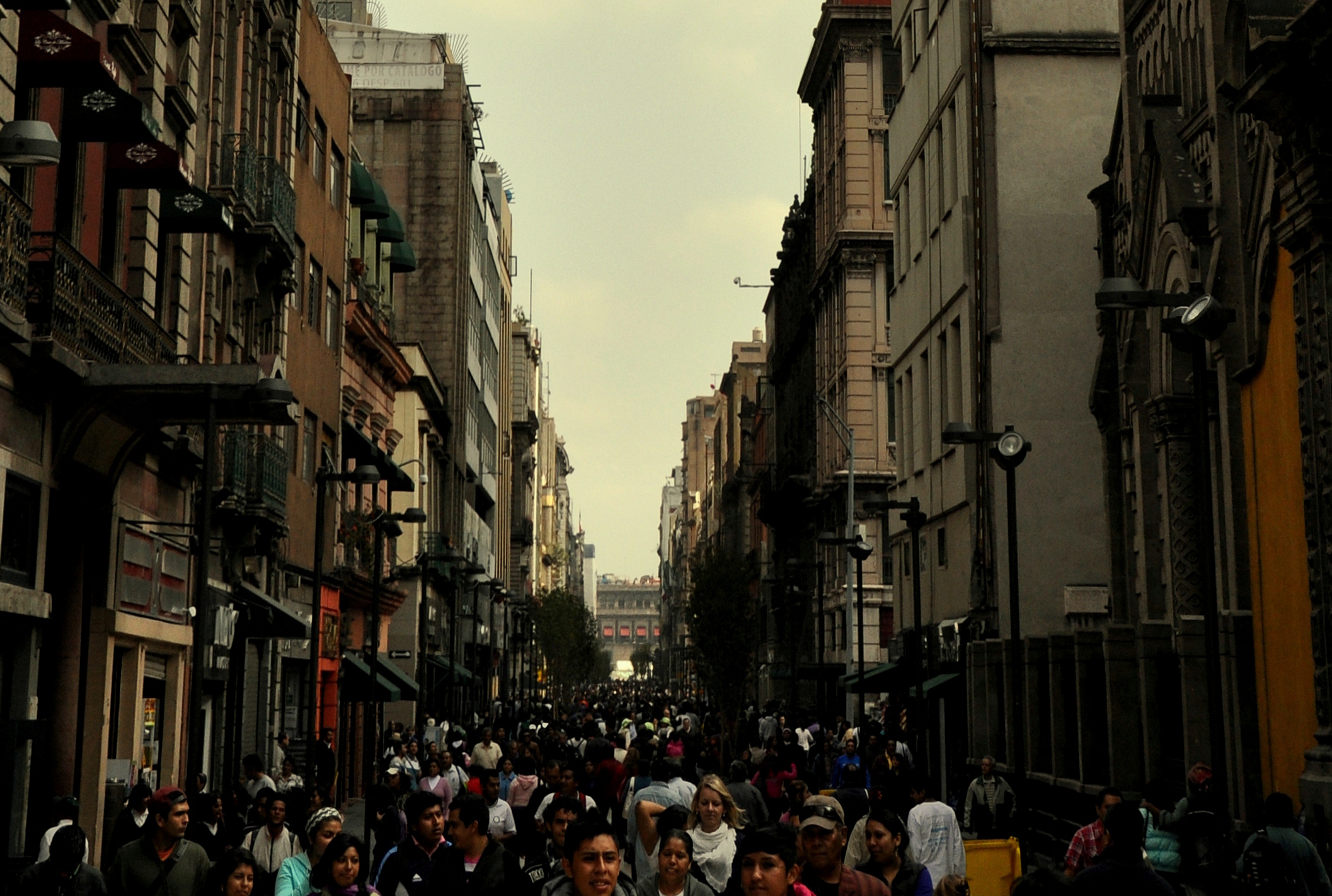
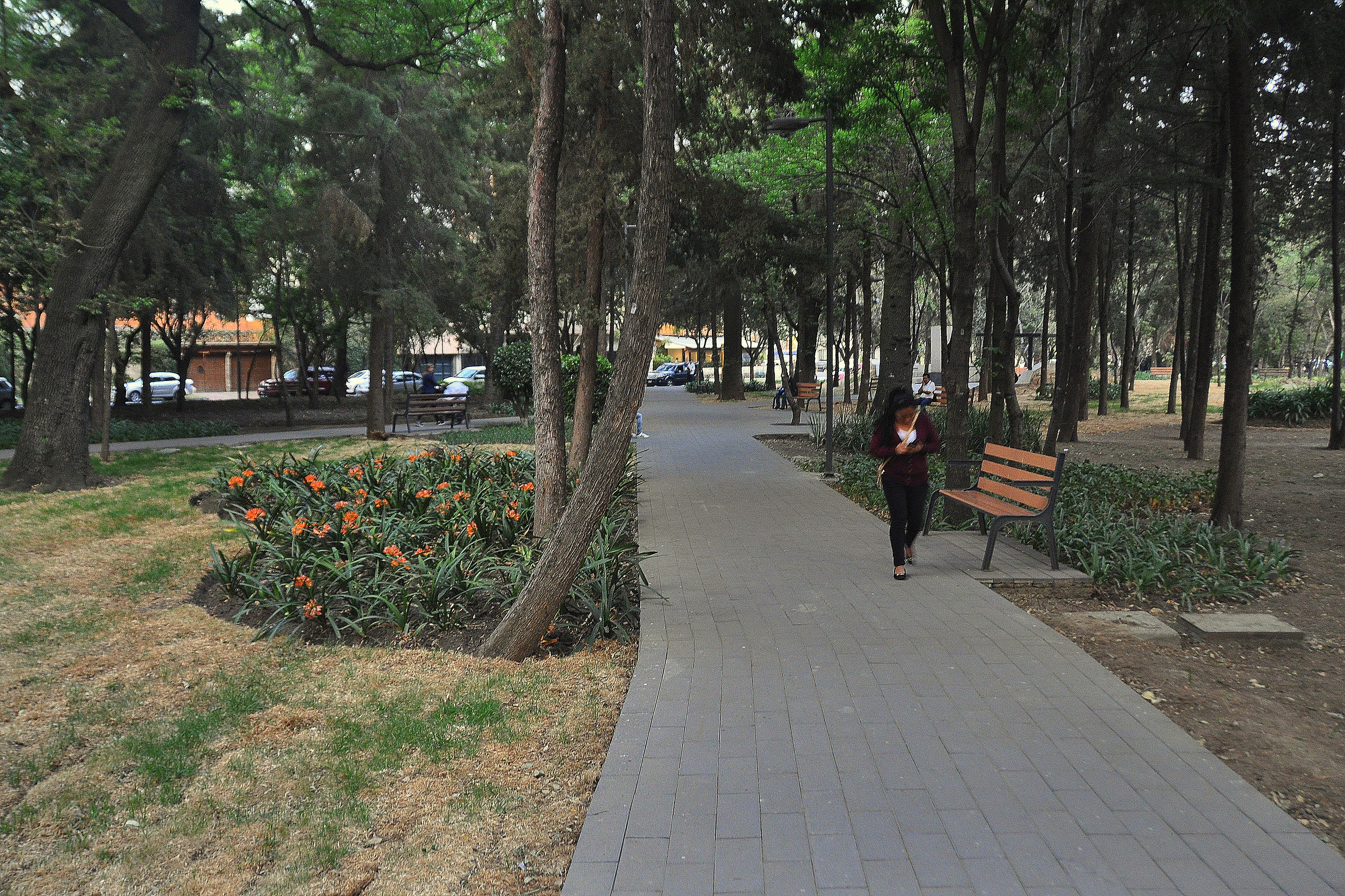
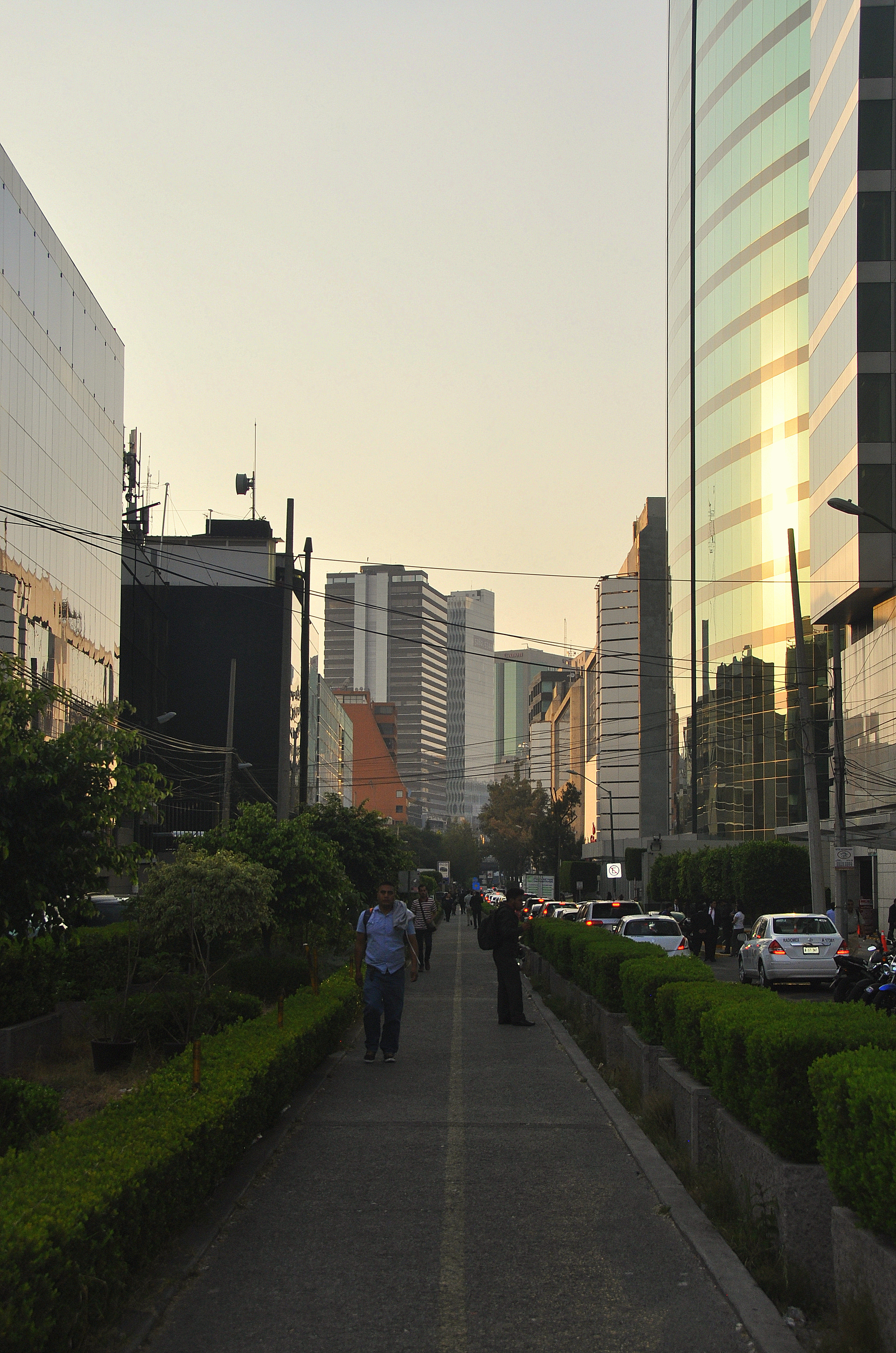
You probably know that the entirety of Mexico City’s Centro Histórico is walkable, with a concrete grid of sidewalks connecting every inch of the city’s storied, teeming humanity between Lázaro Cárdenas (Eje Central) in the west, Anillo de Circunvalación in the east, Granaditas (Eje 1 Norte) in the north, and José María Izazaga in the south. If that isn’t enough, no fewer than 10 metro stations, one metrobús route, and a cable-powered trolebús (not to mention countless peseros) pass through those same storied streets, ferrying commuters hither and yon.
Wider, better-maintained sidewalks link the Centro Histórico with the city’s green lung, Bosque de Chapultepec, via Palacio de Bellas Artes and Paseo de Reforma, the city’s grandest thoroughfare. Plans are underway to build a seventh metrobús line that will supposedly run along Reforma, but since public transportation improvements move at a caracol’s pace in CDMX, I will believe it when I see it.
My casual stroll this past February along the Ferrocarril de Cuernavaca, a railway line-turned-walking and cycling path, prompted me to wax further nostalgic about the walkability of Mexico City in general…not just in the aforementioned city center area, but in outlying sections of the city as well. Traffic congestion has become such a problem that a recent CNN Money article named the city as having the second-worst traffic on the planet! To me, any chance to walk, rather than drive, is a welcome one.
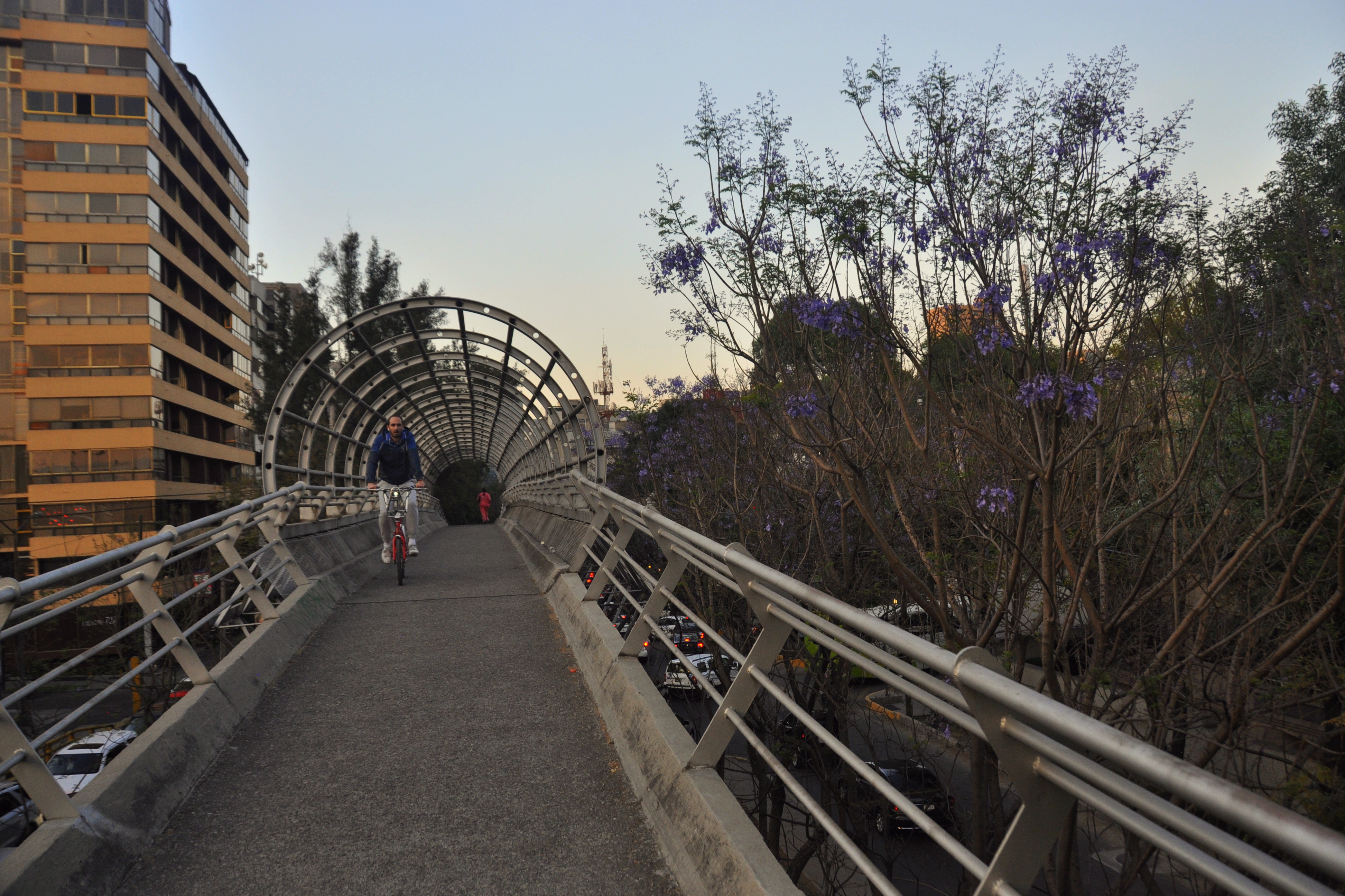
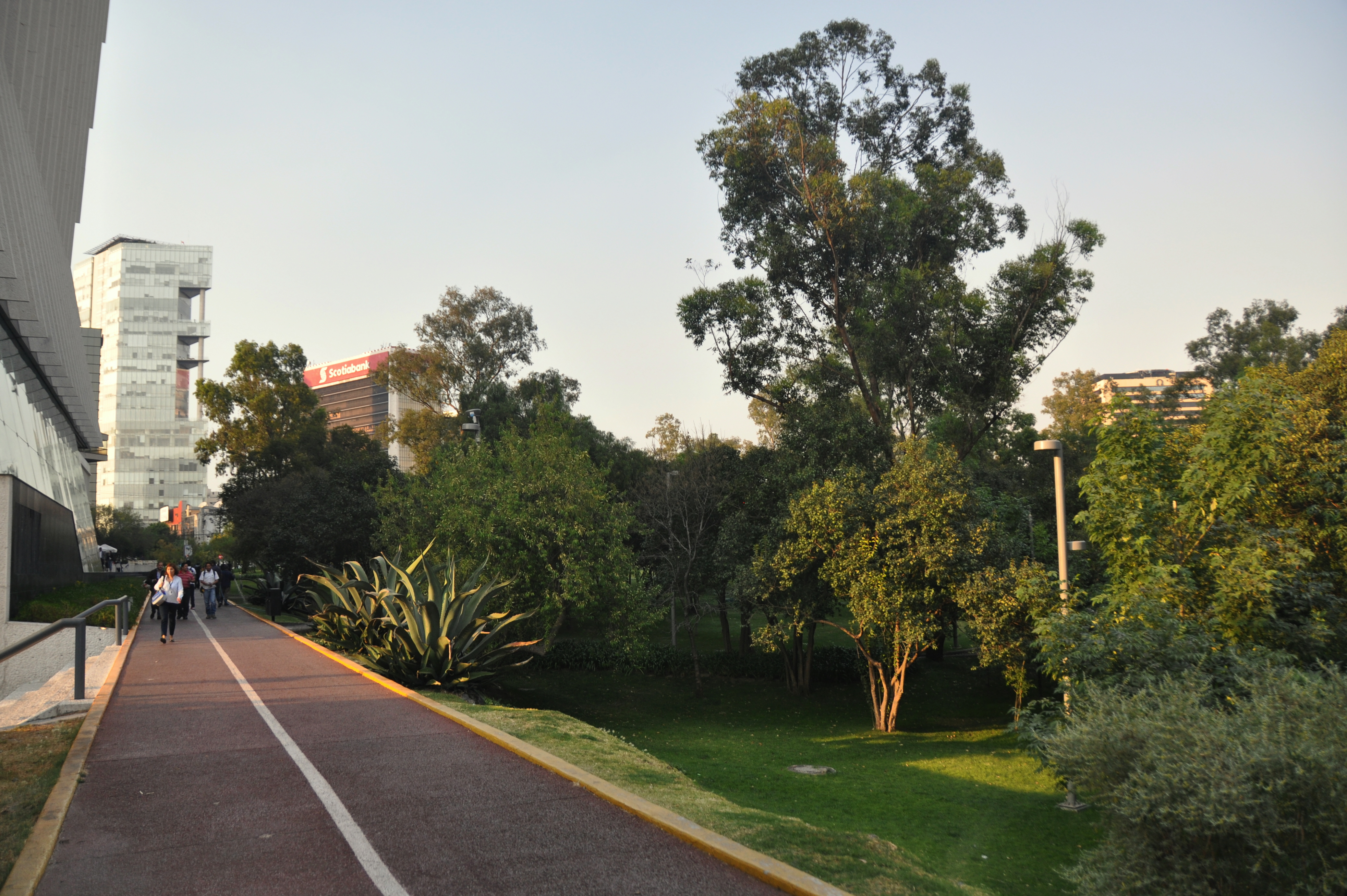
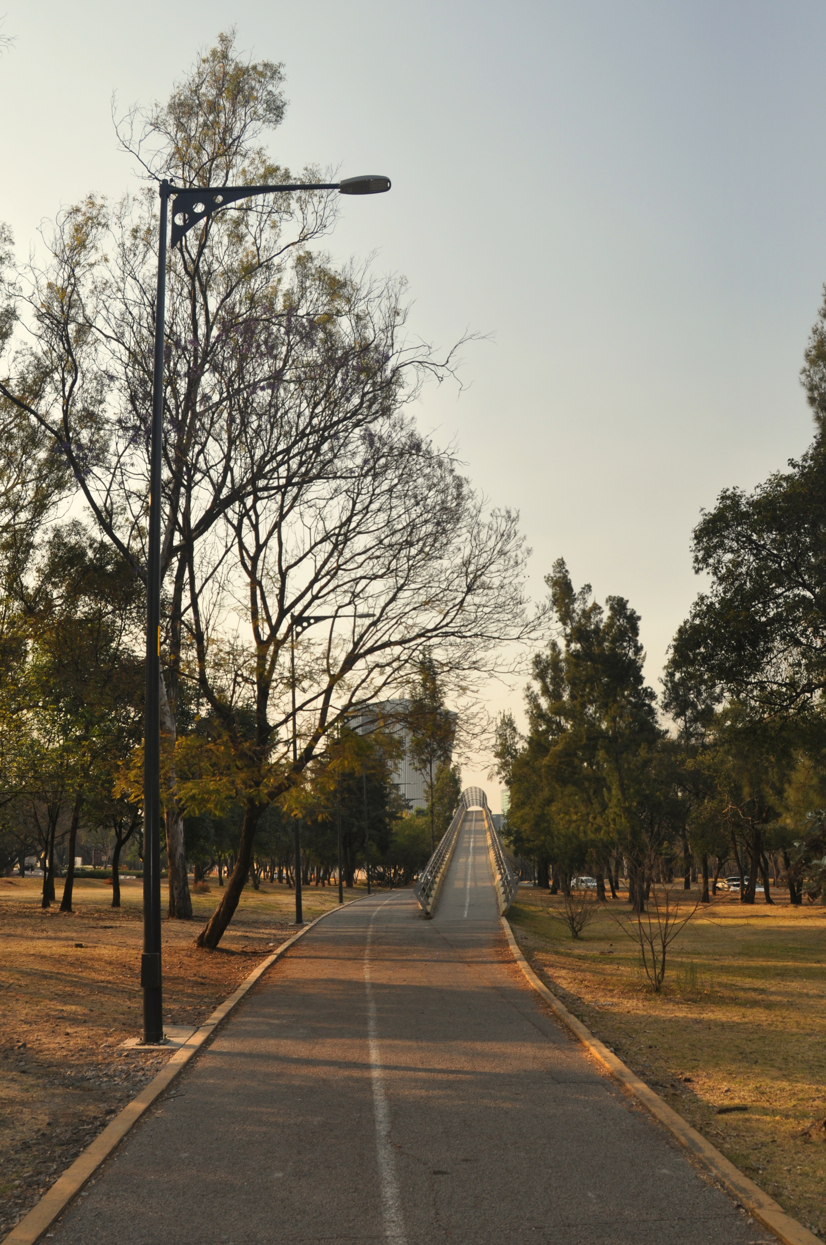
The above pictures are of the Ferrocarril de Cuernavaca. Roughly speaking, it runs from Metro Popotla to Avenida Constituyentes. I didn’t wear a pedometer when I did the walk, but suffice to say, it’s a long one, so if you were to embark late on a spring or summer afternoon my advice would be to pack an umbrella.
There are several points of interest along the way. Bring your camera!
Cerveceria Modelo, part of the Grupo Modelo chain of Mexican beers, operates a brewery just south of Metro San Joaquín. I have never taken the tour and heard mixed things about it, namely that it is free but that it is also said to have strict dress code rules.
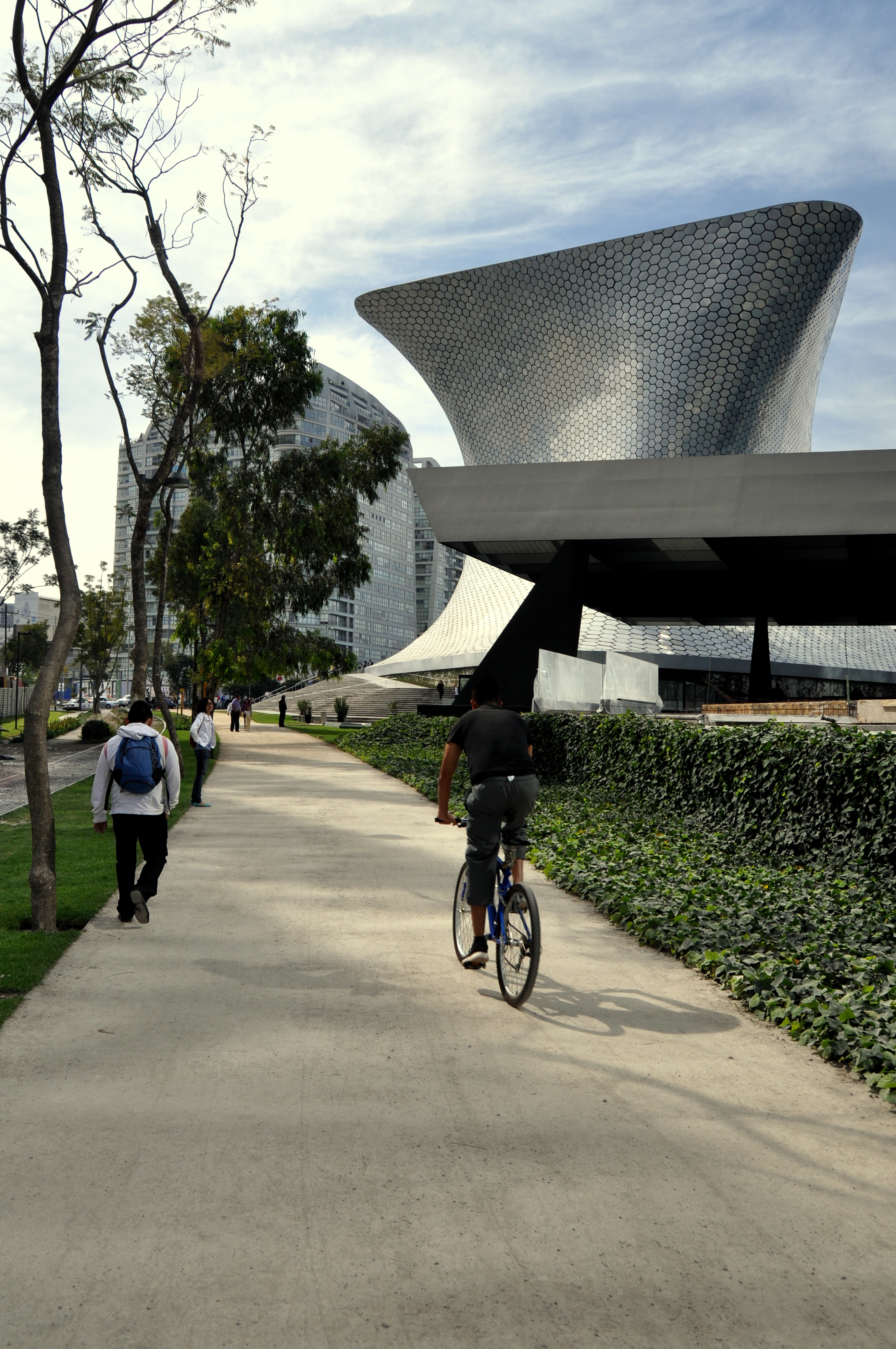
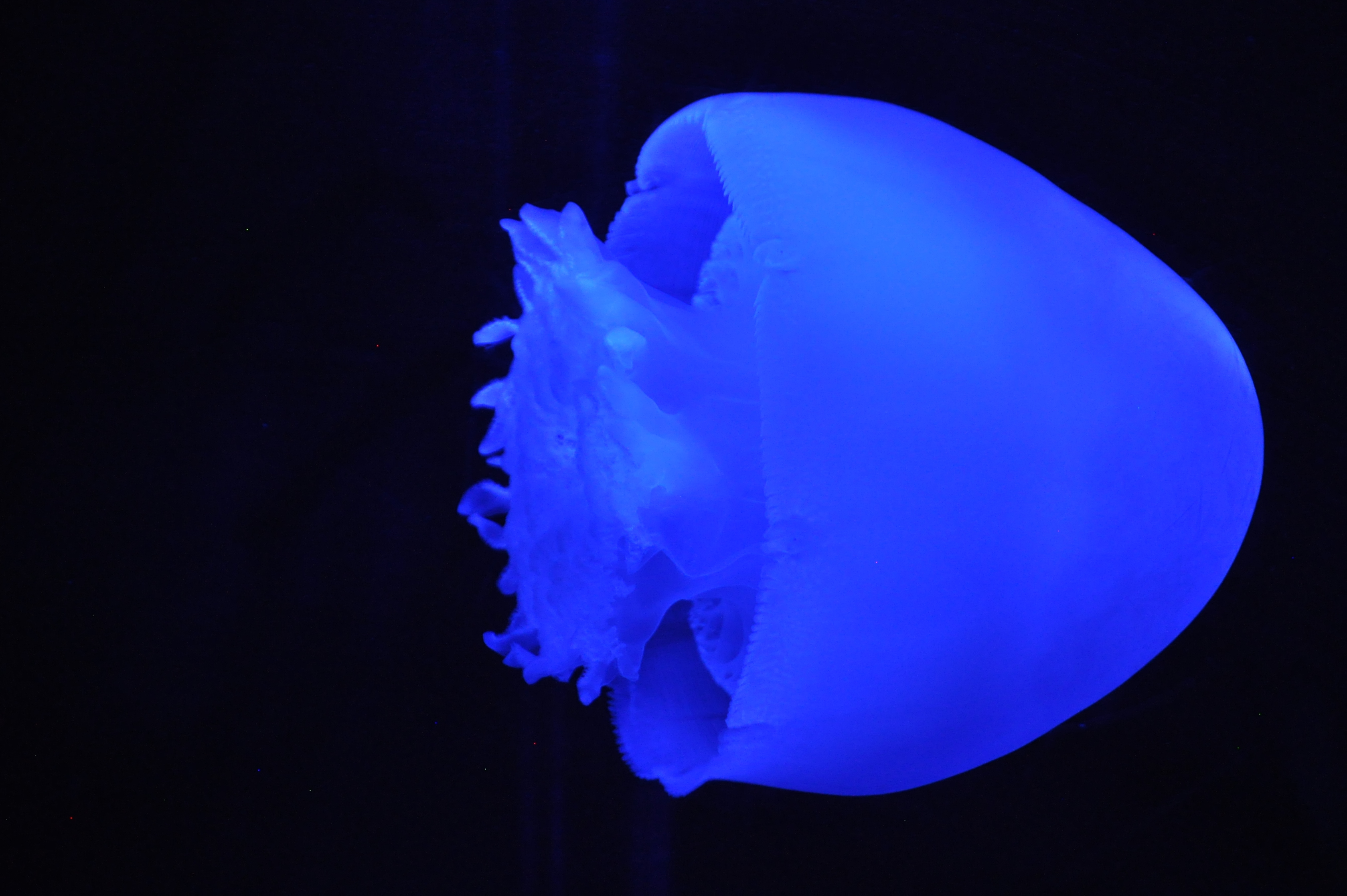
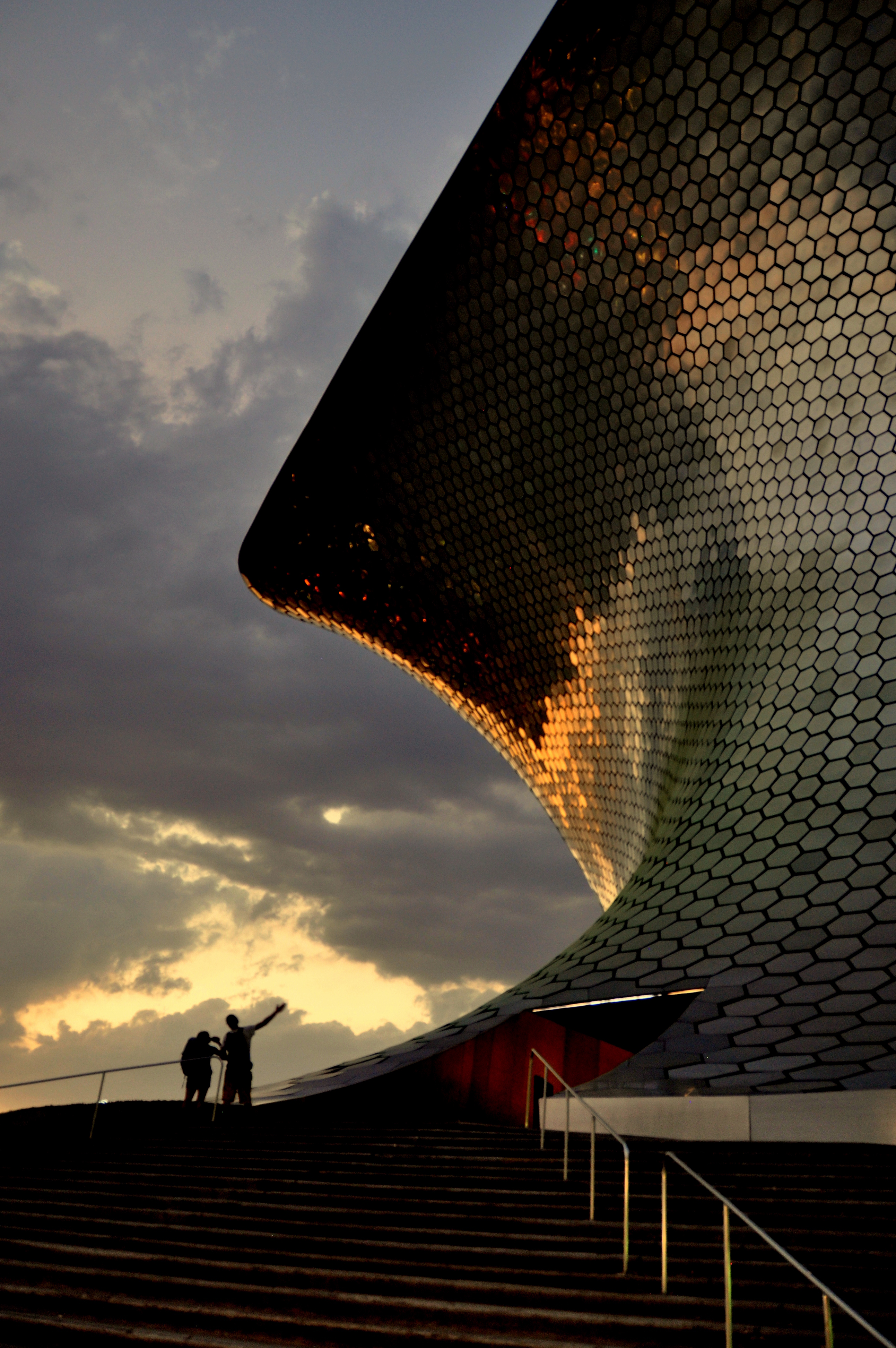
Heading west from Cerverceria Modelo, the ferrocarril passes a series of residential playgrounds and basketball courts before entering the jarring commercial district of Nuevo Polanco that most Chilangos simply refer to as Plaza Carso. Here, below the offices of Carlos Slim, tourism and commerce intersect. Plaza Carso itself is a shopping mall, but the acreage surrounding it includes a theater, the Soumaya and Jumex Museums, and, as of 2014, Acuario Inbursa. This four-story, subterranean structure packs a lot into a small space, and if you like jellyfish, penguins and large crowds, the aquarium will almost certainly be to your liking.
It is next to the aquarium that the ferrocarril veers south, crossing several vital Polanco arteries, including Avenida Horacio. Horacio has its own pedestrian and walking path; turning left here would take you, after perhaps 1.5 miles, to Metro Polanco, passing the city’s flagship Palacio de Hierro department store en route. But continuing south along the ferrocarril, it ascends above street level – briefly – as Parque Machado comes into view on the left.
Just past Parque Machado, the ferrocarrill encounters several traffic lights. Here, on-and-off ramps leading to and from Mexico City’s elaborate Periférico ring highway cross the path. I had no idea where I was, but figured that I wasn’t far from the Fuente de Petroleo, which marks the entrance to Las Palmas, one of the city’s most upscale neighborhoods, and a place where – along with Santa Fe – multi-national companies have based their Latin American headquarters.
After crossing, the ferrocarril ducks between rows of tall buildings as businessmen scurry to and fro. If you look to your right just beyond the Periférico crosswalks, you’ll see an enormous church a few blocks away. This is the strangely-named Iglesia Covadonga, which simply begs to be visited. Mind the vehicular traffic in the area, though.
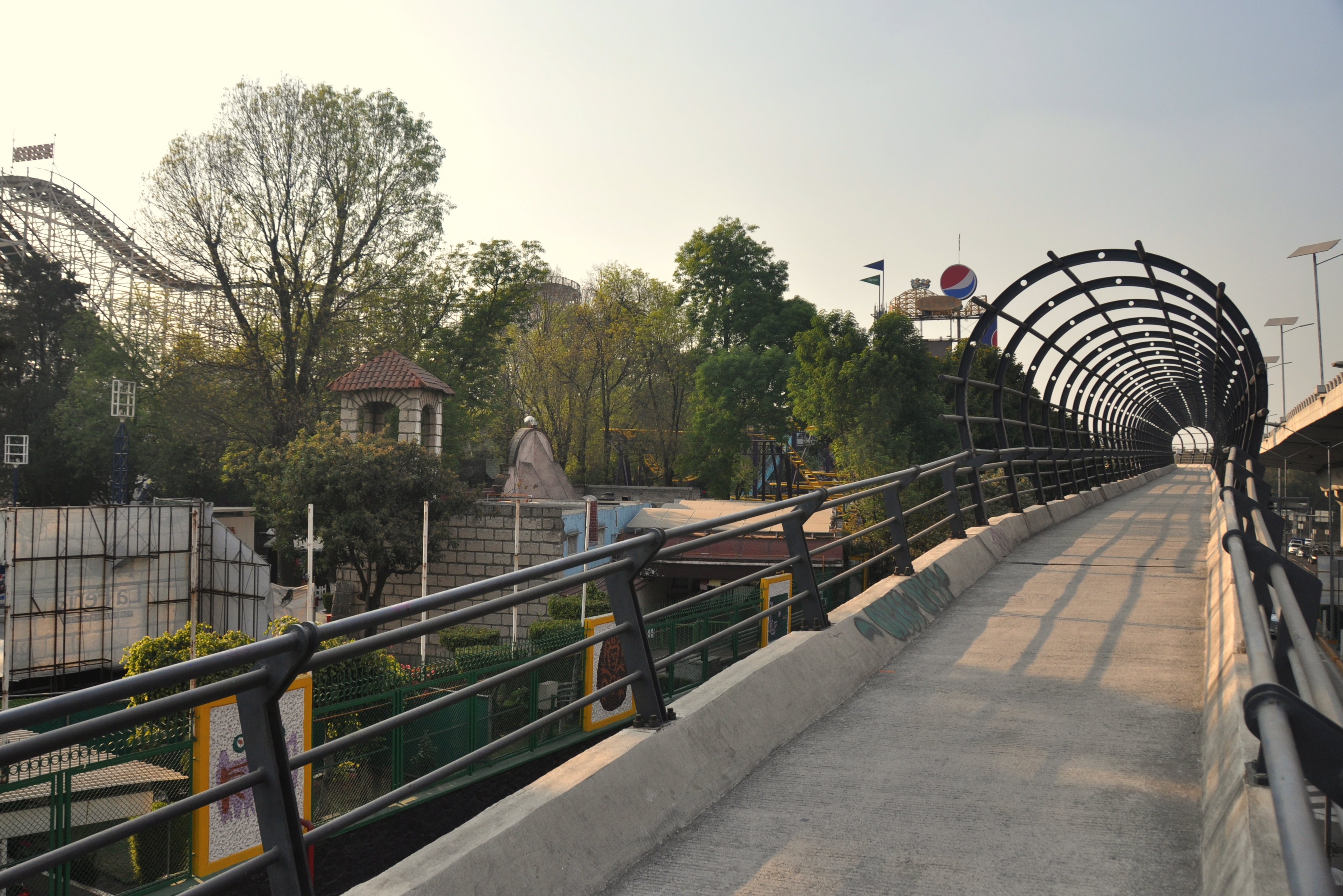
Palmas becomes Lomas as the ferrocarril ascends above a western extension of Paseo de Reforma. This pedestrian bridge offers views of the Fuente de Petroleo, which was farther from the Periférico crosswalks than I had first guessed. Before long and with no fanfare, the ferrocarril enters Seccion 2a of Chapultepec. The roller coasters of La Feria come into view and the path veers around the superstructure of Montaña Rusa, the park’s wooden coaster.
I had this section of the ferrocarril entirely to myself – that is, if I were to discount the sound of cars speeding past along the Periférico, which momentarily traveled in the same direction as it snaked its way towards San Pedro de los Pinos and the south of the city. The historic train cars on display at MUTEC, the Museum of Technology, popped into view on my right and the path curved again, to the right.
Avenida Constituyentes essentially takes the place of Periférico at this point, and it actually runs on both sides, with the path elevated in the middle. Museo Papalote del Niño, the muy popular children’s museum, stands to the right, its tower looking like a minaret. The path, no longer called Ferrocarril de Cuernavaca at this point, ends a few hundred meters farther down. If there is time, you can either retrace your steps back to Nuevo Polanco (sunset, reflected on the tiles of the Soumaya Museum, is worth seeing). If not, you can look for stair access that will lead you across Constituyentes and hail a taxi from the sitio in front of MUTEC and La Feria. Better yet, Metro Constituyentes, on the south side of the avenue of the same name and one of the deepest stations in the entire system, can safely connect you with other lines on the system.
If there is such a thing as a contest for giving too much detail, I suppose that the above write-up of the Ferrocarril de Cuernavaca may be a worthy entrant. Still, most of my Mexican friends, many of whom live on one side of the city and work on the other, seem so tied to their cars that they might not even know such pedestrian corridors (beyond the well-trod ones in and around the Centro Histórico, Reforma, Condesa, and Roma) even exist. Likewise, I know that some commutes are simply too far to efficiently manager them via foot or public transit. That being said, it’s always good to know that alternate options exist.
Mis amigos, this blog post is para ti. 🙂

Thanks for the post. Although I have been to a number of the places that you mentioned here, I did not know anything about this pedestrian walkway. I will have to check it out on a future trip to Mexico City.
A couple comments about the places mentioned…
I have not visited the Church of Covadonga, but as to its strange name… Covadonga is a town in northern Spain where in early medieval times the Spaniards won their first victory against the invading Moors, and thus began the more than 7 century “Reconquest”.
Have you heard reports that “La Feria” has been purchased by Disney? They plan to turn it into a Disney theme park. It is causing controversy because not only will admission be pricey, but will be charged in US dollars only. I have not been able to find anything on the internet confirming this, but this is what my friend in Mexico City told me on my last visit.
Hi William, thanks for the trivia about the origin of the name “Covadonga.”
And your scoop about the possible Disney-fication of “La Feria” is news to me. Neither the Wikipedia page for La Feria no the official park page makes any mention of this, so maybe negotiations are still ongoing?